
by Snow Forecaster Bryan Allegretto
There has been much change to the forecast for this week over the last few days. We have cool air with a chance for some light showers midweek, and then quieter and warmer weather going into the weekend.
There will be a couple of weak systems that will drop down to our east this week into the trough over the Western U.S. That brings a chance of showers Wednesday into Thursday. That will also reinforce the cool air. We have highs in the 50’s today at lake level and then again Wednesday into Thursday.
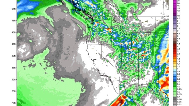
Here is a look at the forecast for very light precipitation that could brush us this week.

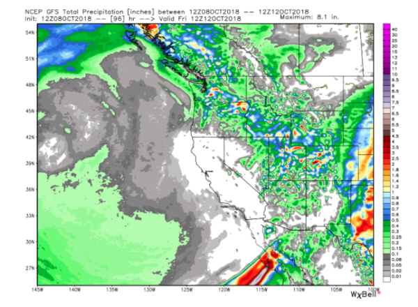
The snow levels may be around 9,000 feet on Wednesday and 8,000 feet on Thursday. So we could see another dusting of snow on the high peaks. You can see all the moisture from the storms moving into the Pacific NW and then down just to our east into the Rockies this week.
We are expecting high pressure to build in over CA this weekend into early next week with warming temperatures. We should see highs back into the 60’s at lake level with some nice weather.
The long-range models still show a trough and large area of low pressure setting up in the East Pacific later next week, beyond the 18th.
That will likely focus the jet stream and storm track at the Pacific Northwest and Canada through the 3rd week of October.
It is possible that a storm dips further south into Northern CA, so we will keep an eye out for that. It’s normal in October for the storm track to be into the Pacific NW, and then to lower down the coast going into the Winter.
I will continue to post updates every few days as we watch for the first significant storm.
Stay tuned…BA


